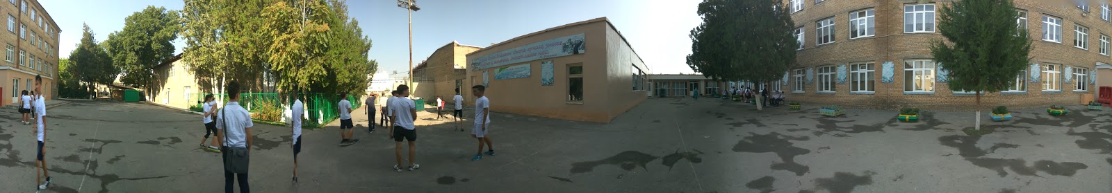
School nearby Gsosh 180
Uzbekistan
School nearby Gsosh 180
Gsosh 180
Tashkent, Uzbekistan
contacts phone
:
+998
Latitude:
41.3030844
, Longitude:
69.2073548
larger map & directions
read more
nearest School
406 m
Mega Child
6 Lutfi ko'chasi, Тошкент
School
read more
842 m
School 179
40 Katartal 1-tor ko'chasi, Тошкент
School
read more
963 m
Advance Architects
178 Muqimiy ko'chasi, Тошкент
School
read more
991 m
171-MTM
Tashkent
School
read more
1.202 km
School #186
1 Orifon köchasi, Тошкент
School
read more
1.257 km
Школа №183
Tashkent
School
read more
1.418 km
LangArt Educational Group
Tashkent
School
read more
1.548 km
81-Shkola
Tashkent
School
read more
1.746 km
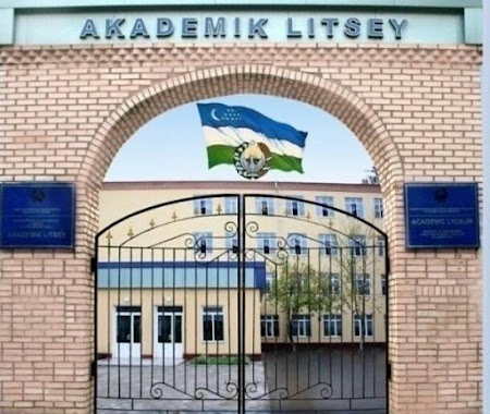
Academic Lyceum under the National University Of Uzbekistan Named After S.H.Sirojiddinov
Tashkent
School
read more
1.749 km
School #178
12 Қатартол 2 кўчаси, Тошкент
School
read more
1.767 km
Akademik litsey Sa'di Hasanovich Sirojiddinov nomli
Tashkent
School
read more
1.771 km
S.H.Sirojiddinov nomidagi akademik litsey
Tashkent
School
read more
1.784 km
The school No.62
Chilanzar-14, Tashkent
School
read more
1.813 km
314-MTM
Tashkent
School
read more
1.818 km
School 128
49 Baynalmilal ko'chasi, Тошкент
School
read more
1.972 km
Wise School
Учтепинский район, улица Лутфий
School
read more
2.067 km
Model'noye Akademiya
3,Ташкент 100115
School
read more
2.236 km
School 168
20, Тошкент
School
read more
2.288 km
REGISTON O'quv markazi
Чиланзар-9а, Tashkent
School
read more
2.294 km
School 162
52, Тошкент
School
read more
2.436 km
Clever Junior
Toshkent Xalqa Avtomobil Yo'li, Тошкент
School
read more
2.511 km
Monday Education o'quv markazi
ул. Чиланзарская, дом 6 Ташкент UZ
School
read more
2.549 km
Rayono Shaykhantakhurskogo Rayona
улица Асадуллы Ходжаева, Тошкент
School
read more
2.609 km
82 Shkola
Tashkent
School
read more
2.633 km
School 66
9 Lobixovuz ko'chasi, Тошкент
School
read more
📑
all categories
Accounting
Administrative area level 1
Administrative area level 2
Airport
Amusement park
Art gallery
Atm
Bakery
Bank
Bar
Beauty salon
Bicycle store
Book store
Bowling alley
Bus station
Cafe
Campground
Car dealer
Car rental
Car repair
Car wash
Cemetery
Church
City hall
Clothing store
Colloquial area
Convenience store
Courthouse
Dentist
Department store
Doctor
Electrician
Electronics store
Embassy
Establishment
Finance
Fire station
Florist
Food
Furniture store
Gas station
General contractor
Grocery or supermarket
Gym
Hair care
Hardware store
Health
Hindu Temple
Home goods store
Hospital
Insurance agency
Jewelry store
Laundry
Lawyer
Library
Liquor store
Local government office
Locality
Locksmith
Lodging
Meal delivery
Meal takeaway
Mosque
Movie theater
Moving company
Museum
Natural feature
Neighborhood
Night club
Park
Parking
Pet store
Pharmacy
Place of worship
Plumber
Point of interest
Police
Political
Post office
Premise
Real estate agency
Restaurant
Roofing contractor
Route
Rv park, camping
School
Shoe store
Shopping mall
Spa
Stadium
Storage
Store
Subway station
Supermarket
Synagogue
Taxi stand
Train station
Transit station
Travel agency
University
Veterinary care
Zoo
sublocality level 1
↑