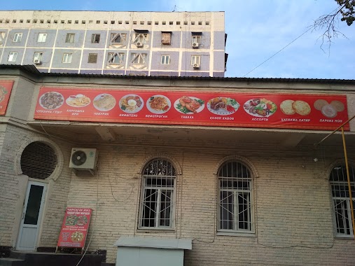
Cafe nearby Sosisochnaya
Uzbekistan
Cafe nearby Sosisochnaya
Sosisochnaya
Taskent, Uzbekistán
contacts phone
:
+998
Latitude:
41.3330597
, Longitude:
69.2181148
larger map & directions
read more
nearest Cafe
721 m
ZAFAR TAOM SAVDO
Farobi ko'chasi, Тошкент
Cafe
read more
858 m
Pitak
8 Beruniy shoh ko'chasi, Тошкент
Cafe
read more
1.097 km
Mig Burger
Beruniy shoh ko'chasi, Тошкент
Cafe
read more
1.165 km
Coca-Cola
Tashkent
Cafe
read more
1.179 km
Лагманная
Tashkent
Cafe
read more
1.217 km
Sweet Day
Beruni Avenue Relief Road, Tashkent
Cafe
read more
1.243 km
Subway
Шайхантахурский район
Cafe
read more
1.285 km
Chiroqchi Jiz
2 Beruniy shoh ko'chasi, Тошкент
Cafe
read more
1.318 km
MILLIY TAOMLAR MEZBON
Tashkent
Cafe
read more
1.469 km
Rayxon Milliy taomlari
Tashkent
Cafe
read more
1.569 km
To'yga Tog'ora Markazi
Tashkent
Cafe
read more
1.879 km
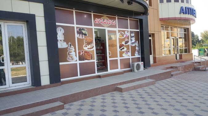
Cake Decor
Kichik Xalqa Yo'li, Тошкент
Cafe
Food
Point of interest
Establishment
read more
1.88 km
Sladkomaniya
1st UMID, 56/2, Abror Khidoyatov Str., Тошкент
Cafe
read more
1.958 km
Mubina_Cake
Tashkent
Cafe
read more
2 km
OQTEPA LAVASH
Tashkent
Cafe
read more
2.113 km
Caffeine Tashkent
Caffeine, Шайхантахурский район Ташкентская область
Cafe
read more
2.116 km
Kafe
Ulitsa Koratash, Tashkent
Cafe
read more
2.116 km
Pappa Roti
Ulitsa Koratash, Tashkent
Cafe
read more
2.123 km
Barbeque Burger
5а, Qoratosh ko'chasi, Тошкент
Cafe
read more
2.141 km
Chaykof
Tashkent
Cafe
Food
Point of interest
Establishment
read more
2.16 km
Les Ailes (Samarkand Darvoza)
5 этаж, Ulitsa Koratash, Тошкент
Cafe
read more
2.168 km
Froozy (ТРЦ Samarqand Darvoza)
5, Karatash, food court, Tashkent
Cafe
read more
2.174 km
Bellissimo Pizza
Tashkent
Cafe
read more
2.178 km
Samobranka Russkaya Kukhnya
Tashkent
Cafe
read more
2.303 km
Max Way Fast Food
30 Navoiy shoh ko'chasi, Тошкент
Cafe
read more
📑
all categories
Accounting
Administrative area level 1
Administrative area level 2
Airport
Amusement park
Art gallery
Atm
Bakery
Bank
Bar
Beauty salon
Bicycle store
Book store
Bowling alley
Bus station
Cafe
Campground
Car dealer
Car rental
Car repair
Car wash
Cemetery
Church
City hall
Clothing store
Colloquial area
Convenience store
Courthouse
Dentist
Department store
Doctor
Electrician
Electronics store
Embassy
Establishment
Finance
Fire station
Florist
Food
Furniture store
Gas station
General contractor
Grocery or supermarket
Gym
Hair care
Hardware store
Health
Hindu Temple
Home goods store
Hospital
Insurance agency
Jewelry store
Laundry
Lawyer
Library
Liquor store
Local government office
Locality
Locksmith
Lodging
Meal delivery
Meal takeaway
Mosque
Movie theater
Moving company
Museum
Natural feature
Neighborhood
Night club
Park
Parking
Pet store
Pharmacy
Place of worship
Plumber
Point of interest
Police
Political
Post office
Premise
Real estate agency
Restaurant
Roofing contractor
Route
Rv park, camping
School
Shoe store
Shopping mall
Spa
Stadium
Storage
Store
Subway station
Supermarket
Synagogue
Taxi stand
Train station
Transit station
Travel agency
University
Veterinary care
Zoo
sublocality level 1
↑