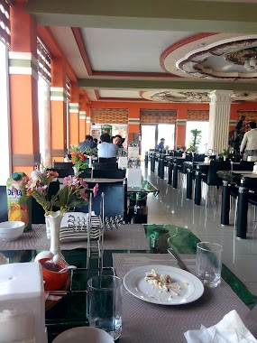
Cafe nearby Evos Андижон
Uzbekistan
Cafe nearby Evos Андижон
Evos Андижон
Andijan, Uzbekistan
contacts phone
:
+998
Latitude:
40.749213
, Longitude:
72.3466866
larger map & directions
read more
nearest Cafe
4 m
EVOS
Andijan
Cafe
read more
45 m
Kafe Zhon
Andijan
Cafe
read more
164 m
ASR Andijon
Andijan
Cafe
Food
Point of interest
Establishment
read more
223 m
Мараканд, Maraqand
Andijan
Cafe
read more
227 m
Kafe Anor
Andijan
Cafe
read more
359 m
OQSHOM Chayhana
Andijan
Cafe
read more
434 m
Kafe Zolotaya Dolina
Andijan
Cafe
read more
446 m
kafe Mashrab
Unnamed Road, Andizhan
Cafe
Food
Point of interest
Establishment
read more
555 m
veranda kafe
Unnamed Road
Cafe
Food
Point of interest
Establishment
read more
584 m
Coffee Room
Ulitsa Lermontova, Andijan
Cafe
read more
670 m
Kafe YULDUZ
Andijan
Cafe
Food
Point of interest
Establishment
read more
670 m
Kafe YLDUZ
Andijan
Cafe
read more
681 m
Yulduz Kafe
Andijan
Cafe
read more
852 m
Vatan choyxonasi
Andijan
Cafe
Food
Point of interest
Establishment
read more
934 m
Cafe Bar SheR BeK
Andijan
Cafe
Food
Point of interest
Establishment
read more
1.043 km
GRAND BURGER
Unnamed Road, Andizhan
Cafe
read more
1.053 km
FRANS BURGER cafesi
Andijan
Cafe
read more
1.053 km
Friends & Family cafesi
Unnamed Road
Cafe
read more
1.054 km
Cafe Americano
Unnamed Road, Andijan
Cafe
read more
1.063 km
Cafe Magnit
Andijan
Cafe
read more
1.069 km
Cafe Iris
Unnamed Road
Cafe
Food
Point of interest
Establishment
read more
1.072 km
Tic Tac Kafe
Andijan
Cafe
read more
1.116 km
Burger club
Ulitsa Vorovskogo, Andijan
Cafe
Food
Point of interest
Establishment
read more
1.201 km
Aziz Parkhez Taomlari
Andijan
Cafe
Food
Point of interest
Establishment
read more
1.375 km
Kafe Latin
Andijan
Cafe
Food
Point of interest
Establishment
read more
📑
all categories
Accounting
Administrative area level 1
Administrative area level 2
Airport
Amusement park
Art gallery
Atm
Bakery
Bank
Bar
Beauty salon
Bicycle store
Book store
Bowling alley
Bus station
Cafe
Campground
Car dealer
Car rental
Car repair
Car wash
Cemetery
Church
City hall
Clothing store
Colloquial area
Convenience store
Courthouse
Dentist
Department store
Doctor
Electrician
Electronics store
Embassy
Establishment
Finance
Fire station
Florist
Food
Furniture store
Gas station
General contractor
Grocery or supermarket
Gym
Hair care
Hardware store
Health
Hindu Temple
Home goods store
Hospital
Insurance agency
Jewelry store
Laundry
Lawyer
Library
Liquor store
Local government office
Locality
Locksmith
Lodging
Meal delivery
Meal takeaway
Mosque
Movie theater
Moving company
Museum
Natural feature
Neighborhood
Night club
Park
Parking
Pet store
Pharmacy
Place of worship
Plumber
Point of interest
Police
Political
Post office
Premise
Real estate agency
Restaurant
Roofing contractor
Route
Rv park, camping
School
Shoe store
Shopping mall
Spa
Stadium
Storage
Store
Subway station
Supermarket
Synagogue
Taxi stand
Train station
Transit station
Travel agency
University
Veterinary care
Zoo
sublocality level 1
↑